23 March: World Meteorological Day
Edward Johnson, hi-tech and engineering expert, 23 March 2025
Weather forecasting
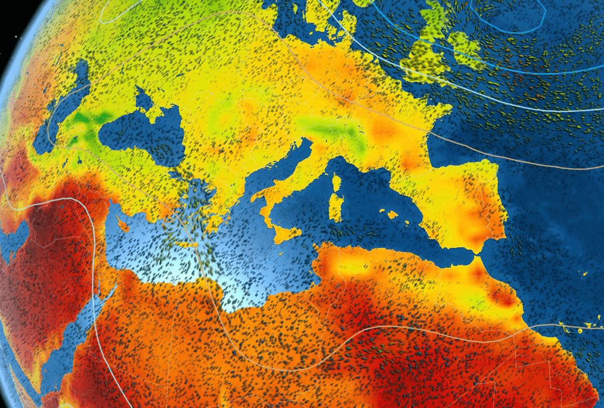
Weather forecasts are estimates of future weather based on the analysis of atmospheric data collected by satellites, ground stations and weather radars. Satellites such as Meteosat in Europe or GOES in the United States provide real-time images that make it possible to track the evolution of clouds and cyclones. In 2019, accurate forecasts of Hurricane Dorian were made possible thanks to data from the GOES-16 satellite, enabling the evacuation of populations in the Bahamas before it struck. Doppler radars, used by services such as Météo-France, detect precipitation and its intensity in real time, making it easier to issue alerts in the event of violent storms. In the mountains, sensors placed on peaks, such as those of the Nivôse network in the Alps, continuously monitor temperature, wind and snow depth to help prevent avalanche risks.
The importance of meteorology in our daily lives
In transport, forecasts make it possible to anticipate disruptions caused by snow, ice or storms, as during Storm Eleanor in 2018, which led to the preventive closure of several roads in France. In agriculture, weather forecasts help farmers plan irrigation and protect their crops in the event of frost. In April 2021, for example, winegrowers in the Bordeaux region lit braziers in their vineyards to limit damage caused by the cold. In the health sector, pollution and heatwave alerts allow hospitals to adapt their services to prevent heatstroke and respiratory crises, as during the 2003 heatwave in Europe, which caused thousands of deaths.
The World Meteorological Organization (WMO)
The World Meteorological Organization (WMO) is a specialized agency of the United Nations created in 1950, succeeding the International Meteorological Organization founded in 1873. It coordinates activities relating to meteorology, hydrology and geophysical sciences, while contributing to the establishment of early warning systems for extreme climate phenomena. In 2019, for example, the WMO took part in the launch of the CREWS (Climate Risk and Early Warning Systems) project, aimed at strengthening weather alerts in vulnerable countries such as Haiti and the Fiji Islands. The organization also coordinates the global network of weather stations, comprising more than 10,000 ground stations and 1,000 ocean buoys that collect data in real time. In 2021, the WMO launched the "Water and Climate Coalition" initiative to help developing countries manage their water resources in the face of climate disruption. The WMO also provides data to airlines to help keep flights safe from turbulence.